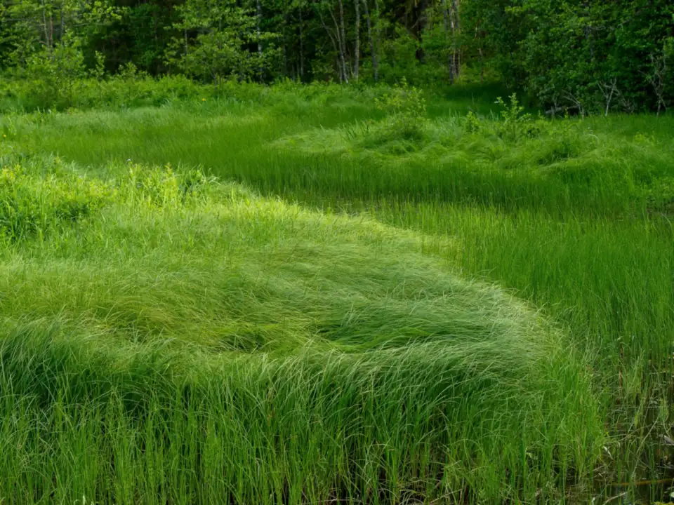
Wetland and stream delineation
GPS-flagged boundaries, soil pits and photo logs aligned to USACE regional supplements.
Ridge & Reach guides developers, utilities and municipalities through wetland delineations, stormwater plans and mitigation banking. Our scientists walk sites with your civil engineer, write defensible reports for agencies and stay through construction inspections. You get photo logs, GIS layers and a single project manager who answers the phone. We translate permit conditions into checklists your contractor can use in the field, and we flag when a design change triggers a new review before concrete is poured.
Licensed in Virginia, North Carolina and Maryland.

We write for regulators and for the community boards that read summaries aloud.
GPS-flagged boundaries, soil pits and photo logs aligned to USACE regional supplements.
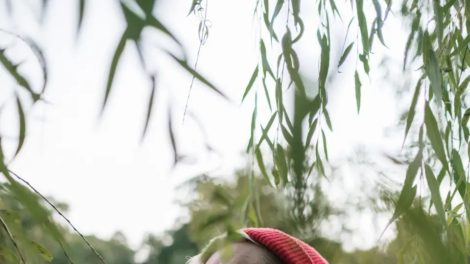
We review BMP sizing, erosion plans and inspection schedules before you pour.
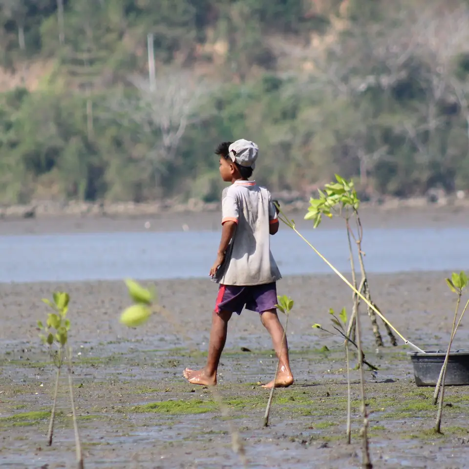
Five-year planting and invasive control plans with annual photo points.

Zero appeal after comment period
Wetlands

First inspection pass
Stormwater
Credit release year two
Restoration
Milestones we hit on a standard commercial wetland permit.
GIS overlays, aerials and a flagged walk with your engineer.
Soil pits, vegetation plots and draft report for your comment.
We respond to technical questions and revise maps.
Pre-construction meeting, erosion inspections and as-built photos.
“Agency asked for one more soil pit. They had crews there the next morning with updated maps.”
“Community board night went smooth because the summary slides used plain photos, not jargon.”
“Mitigation monitoring reports dropped into our lender data room without edits.”
Attach a parcel map if you have one. We return a scope letter with fees in three days.
Yes. Our PMs and lead scientists are available for planning commissions.
We partner with regional firms outside the Mid-Atlantic when needed.
Two field crews are reserved for 10-day turnarounds when weather allows.
Shapefiles, GeoPackage and PDF map books.
We routinely meet agencies with your engineer before formal submittal to surface data gaps early.
Annual photo points, invasive species notes and planting survival counts upload to a shared portal.
We stay on through construction monitoring, stormwater inspections and any agency requests for as-built wetland sketches.